Build your subject-matter expertise
This course is part of the GIS, Mapping, and Spatial Analysis Specialization
- Learn new concepts from industry experts
- Gain a foundational understanding of a subject or tool
- Develop job-relevant skills with hands-on projects
- Earn a shareable career certificate

There are 6 modules in this course
Geodemia is excited to launch our foundational course in GIS, Mapping, and Spatial Analysis. Whether you are looking to build a new skill set or start your journey toward becoming a GIS analyst, this course provides the perfect entry point into the fascinating and highly useful world of Geographic Information Systems.
This program bridges the gap between theoretical mapping concepts and practical software training, giving you the strong foundation necessary to make informed spatial decisions and succeed in advanced GIS specializations.
What You Will Learn
Throughout this course, you will gain hands-on experience and a deep understanding of core geospatial concepts, including:
-
GIS Fundamentals: What a Geographic Information System actually is and how to confidently navigate the software.
-
Spatial Representation: How physical features and elements we find in the real world are translated and represented digitally on a map.
-
Coordinate Systems: The mechanics of how we accurately record and track locations using spatial coordinates.
-
Map Projections: The techniques used to accurately flatten a three-dimensional Earth into a two-dimensional map.
-
Applied Course Project: You will create your own custom GIS dataset from scratch by tracing geographic features from satellite imagery, focusing on a location and theme of your choosing.
Who Should Enroll?
This course is designed for anyone who wants to learn about mapping and GIS. You do not need any previous geospatial or programming experience—just your curiosity and a willingness to learn.
Prerequisites & Software Requirements
To successfully complete the practical exercises in this course, you will need:
-
A Windows operating system computer.
-
ArcGIS Desktop (ArcMap) and QGIS installed.
(Note: All necessary software installation files and instructions will be provided in the course materials option.)
- 6 Sections
- 53 Lessons
- Lifetime
- What is a GIS9
- Introduction to ArcGIS9
- Mapping the real world with vector and raster data10
- 3.1Mapping the real world
- 3.2Vector data model
- 3.3Creating vector data by digitizing in ArcMap
- 3.4Sampling frequency when digitizing
- 3.5Map scale and digitizing
- 3.6Precision, accuracy, and digitizing
- 3.7Raster data model
- 3.8Spatial resolution and data volume
- 3.9Spatial resolution of raster data in ArcMap
- 3.10Vector vs. raster data models
- Mapping Locaions and Coordinates System9
- Flattering the Earth with Map Projection16
- 5.1Purpose of map projections
- 5.2How projections work
- 5.3Associating points from 3D to 2D
- 5.4Projection class
- 5.5Standard line and scale factor
- 5.6Projection case
- 5.7Projection aspect
- 5.8Projection central meridian
- 5.9Tissot’s indicatrix
- 5.10Equidistant projection
- 5.11Great circles and rhumb lines
- 5.12Projection distance and direction
- 5.13Grid coordinate systems and UTM
- 5.14Projections and ArcGIS
- 5.15Working with map projections
- 5.16Data frames and extent rectangles in ArcMap
- Project: Create Your Own Data0
Certificate
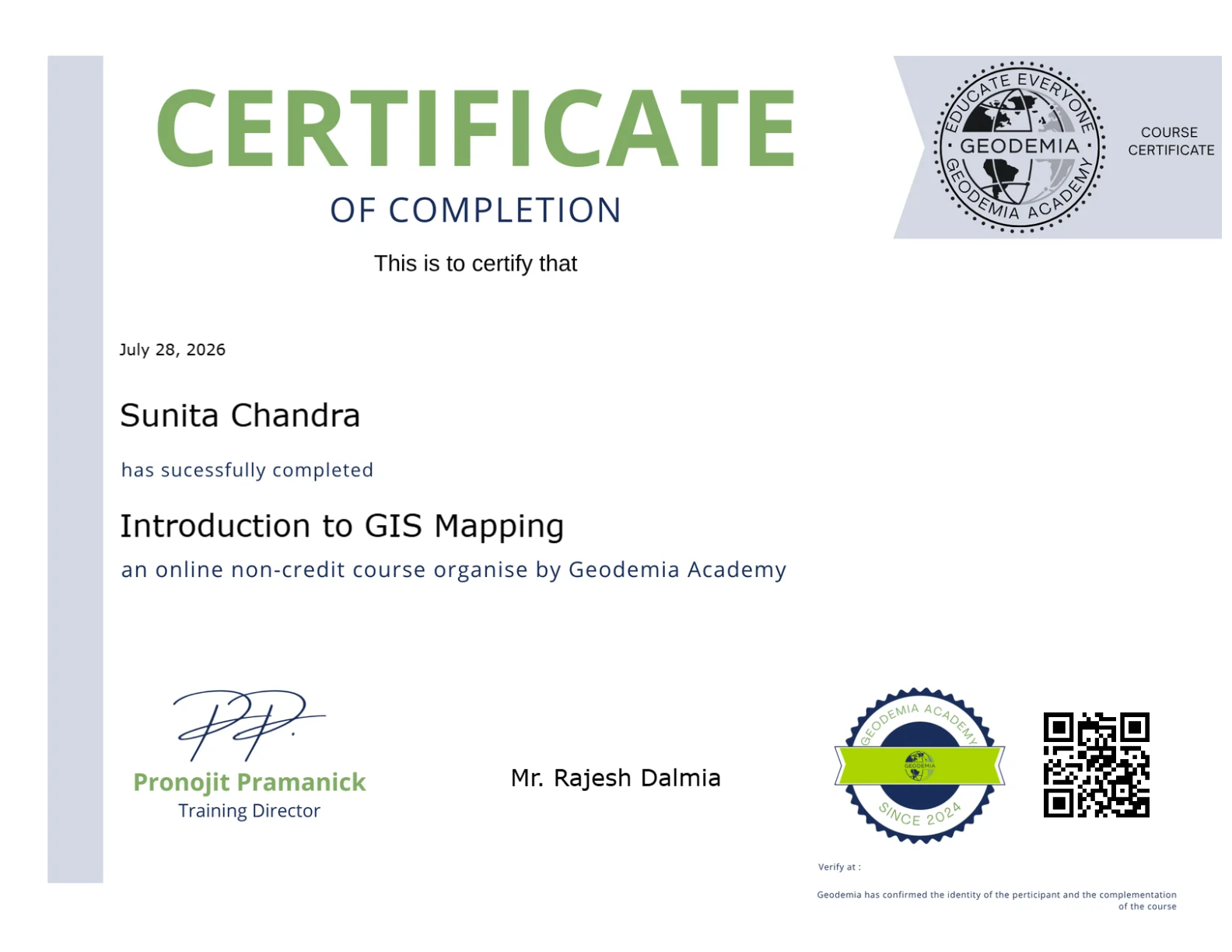
Earn a certificate and Showcase your skill
Complete this course and earn a verified certificate to showcase your new skills. Share it on LinkedIn, add it to your resume, or download it for your records.

You might be interested in