Build your subject-matter expertise
This course is part of the GIS, Mapping, and Spatial Analysis Specialization
- Learn new concepts from industry experts
- Gain a foundational understanding of a subject or tool
- Develop job-relevant skills with hands-on projects
- Earn a shareable career certificate

There are 5 modules in this course
In this course, you will learn how to analyze map data using different data types and methods to answer geographic questions. First, you will learn how to filter a data set using different types of queries to find just the data you need to answer a particular question. Then, we will discuss simple yet powerful analysis methods that use vector data to find spatial relationships within and between data sets. In this section, you will also learn about how to use ModelBuilder, a simple but powerful tool for building analysis flowcharts that can then also be run as models. You will then learn how to find, understand, and use remotely sensed data such as satellite imagery, as a rich source of GIS data. You will then learn how to analyze raster data. Finally, you will complete your own project where you get to try out the new skills and tools you have learned about in this course.
- 5 Sections
- 45 Lessons
- Lifetime
- Filtering Data using Quaries8
- Vector Analysis11
- Remote Sensing as a GIS Data Source15
- 3.1What is remote sensing?
- 3.2Spatial resolution of satellite images
- 3.3Temporal resolution of satellite sensors
- 3.4Radiometric resolution of satellite sensors
- 3.5Spectral resolution of satellite sensors
- 3.6Spatial vs. spectral resolution
- 3.7Spectral signatures of land cover types
- 3.8Displaying multiband satellite images
- 3.9Landsat Explorer web app introduction
- 3.10Working with satellite imagery in ArcMap
- 3.11The image analysis window in ArcMap
- 3.12Downloading Landsat 8 data
- 3.13Adding Landsat 8 images to ArcMap
- 3.14Visually interpreting satellite images
- 3.15Satellite image classification
- Raster Analysis11
- Project: Spatial Analysis0
Certificate
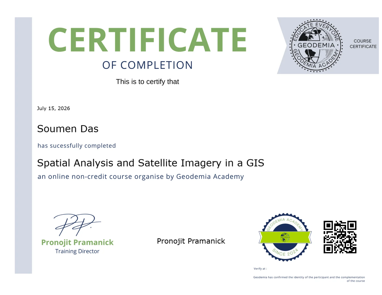
Earn a certificate and Showcase your skill
Complete this course and earn a verified certificate to showcase your new skills. Share it on LinkedIn, add it to your resume, or download it for your records.

You might be interested in