Description
Build your subject-matter expertise
This course is part of the GIS, Mapping, and Spatial Analysis Specialization
When you enroll in this course, you’ll also be enrolled in this Specialization.
- Learn new concepts from industry experts
- Gain a foundational understanding of a subject or tool
- Develop job-relevant skills with hands-on projects
- Earn a shareable career certificate

There are 7 modules in this course
In this course, you will learn how to find GIS data for your own projects, and how to create a well-designed map that effectively communicates your message. The first section focuses on the basic building blocks of GIS data, so that you know what types of GIS files exist, and the implications of choosing one type over another. Next, we’ll discuss metadata (which is information about a data set) so you know how to evaluate a data set before you decide to use it, as well as preparing data by merging and clipping files as needed. We’ll then talk about how to take non-GIS data, such as a list of addresses, and convert it into “mappable” data using geocoding. Finally, you’ll learn about how to take data that you have found and design a map using cartographic principles. In the course project, you will find your own data and create your own quantitative map.
Curriculum
- 7 Sections
- 63 Lessons
- Lifetime
Expand all sectionsCollapse all sections
- Welcome to the course!10
- 1.1Welcome to the course!
- 1.2Introduction to topology
- 1.3Topology and data formats
- 1.4Shapefile: simple, with no topology
- 1.5Coverage: Complex, but has topology
- 1.6Comparison of shapefile, coverage, and geodatabase
- 1.7Building basic topology
- 1.8Georelational and object-relational vector data models
- 1.9Create Road Network Map
- 1.10Create Every Topology in One Map
- Finding Data and Preparation to Your Project9
- Geocoading Address and Postal Codes10
- Map Design Principle17
- 4.1Developing a critical eye
- 4.2The map design process
- 4.3Controls on map design, part 1
- 4.4Controls on map design, part 2
- 4.5Controls on map design, part 3
- 4.6Design principles
- 4.7Visual hierarchy
- 4.8Figure-ground relationship
- 4.9Contrast
- 4.10Legibility
- 4.11Visual balance
- 4.12Map elements
- 4.13Creating a map layout in ArcMap
- 4.14Basic map design in ArcMap
- 4.15Exporting a map as an image in ArcMap
- 4.16Typography
- 4.17Creating and customizing labels in ArcMap
- Mapping Quantitative Data13
- 5.1Levels of measurement and mapping
- 5.2Colour models: RGB
- 5.3Colour models: HSV
- 5.4Colour models: CMYK
- 5.5Choropleth maps
- 5.6Creating choropleth maps in ArcMap
- 5.7Data classification for mapping
- 5.8Data classification methods for mapping
- 5.9Mean vs. median
- 5.10Zero values on your map
- 5.11Joining tables
- 5.12Working with tables in ArcMap
- 5.13Field calculations in tables
- Quantitative Map Types8
- Getting Data and Make Your Own Maps0
Certificate
Certificate
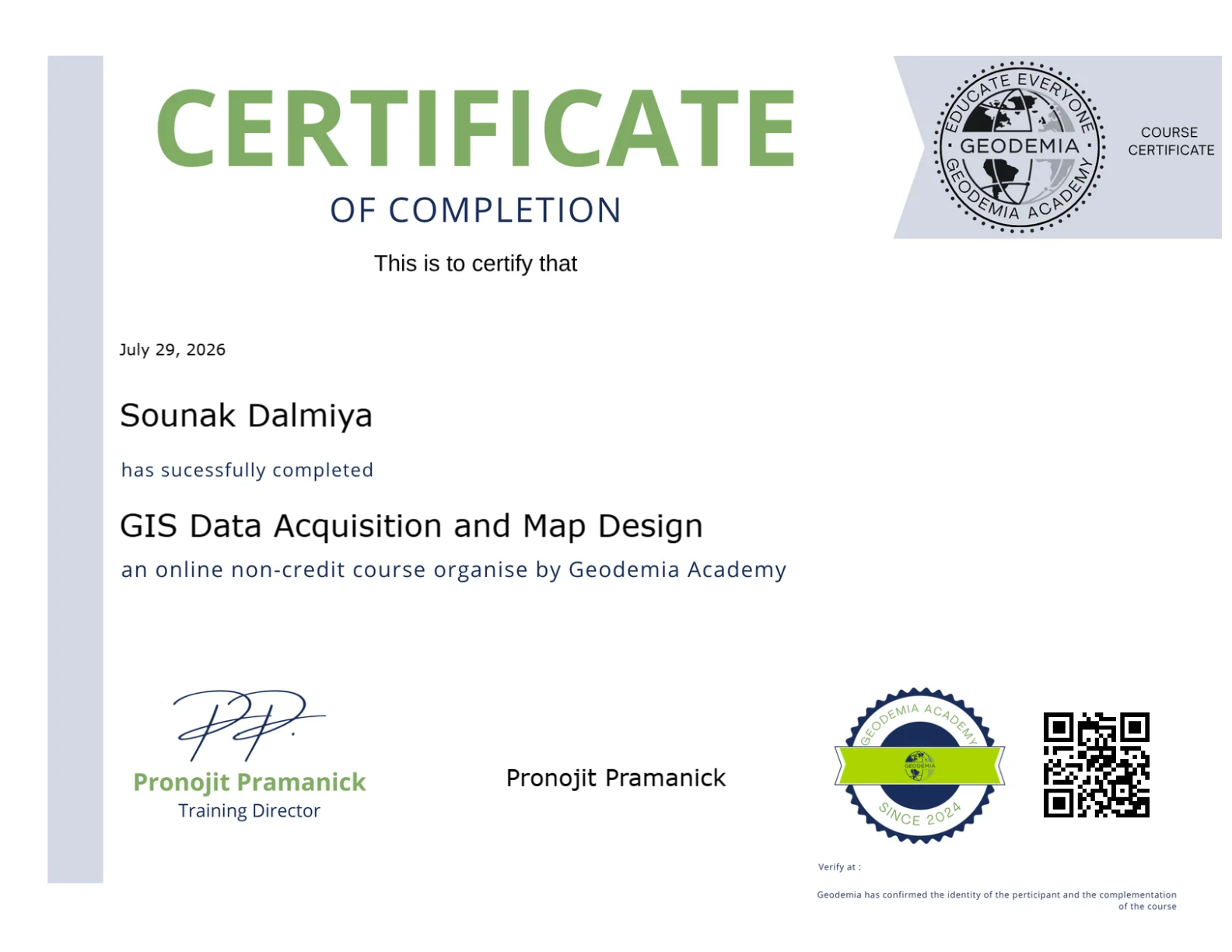
Earn a certificate and Showcase your skill
Complete this course and earn a verified certificate to showcase your new skills. Share it on LinkedIn, add it to your resume, or download it for your records.
FAQs
To access course materials, assignments, and earn a Certificate, you'll need to purchase the Certificate experience when you enroll in a course. Eligible learners may also have the option to start with a Free Trial. Some courses may also offer a Full Course, No Certificate option. This lets you access course materials, submit required assessments, and receive a final grade, but you won't be able to earn or purchase a Certificate.
When you enroll in the course, you get access to all of the courses in the Specialization, and you earn a certificate when you complete the work. Your electronic Certificate will be added to your Accomplishments page - from there, you can print your Certificate or add it to your LinkedIn profile.
Instructor

205 Students4 Courses
Reviews
Students List
You might be interested in