Build your subject-matter expertise
This course is part of the GIS, Mapping, and Spatial Analysis Specialization
- Learn new concepts from industry experts
- Gain a foundational understanding of a subject or tool
- Develop job-relevant skills with hands-on projects
- Earn a shareable career certificate

There are 6 modules in this course
In this Ghurni Clay Doll course, you will apply everything you have learned by designing and then completing your own GIS project. You will plan out your project by writing a brief proposal that explains what you plan to do and why. You will then find data for a topic and location of your choice, and perform analysis and create maps that allow you to try out different tools and data sets. The results of your work will be assembled into an Esri story map, which is a web site with maps, images, text, and video. The goal is for you to have a finished product that you can share, and that demonstrates what you have learned.
- 6 Sections
- 51 Lessons
- Lifetime
- Introduction to Story Maps4
- Data Discovery and Project Proposal0
- Data Acquisition and Preparation18
- 3.1Evaluating data using metadata
- 3.2Data dictionary
- 3.3The importance of metadata
- 3.4Viewing and editing metadata in ArcMap
- 3.5Downloading and using GIS data
- 3.6Adding x,y data from a table
- 3.7Clipping a feature class
- 3.8Merging feature classes
- 3.9Interactive selection in ArcMap
- 3.10Select by attribute
- 3.11Queries and Venn diagrams
- 3.12Select by location
- 3.13Select by attribute and location in ArcMap
- 3.14Mixing attribute and location queries
- 3.15Reclassification and aggregation
- 3.16Joining tables
- 3.17Working with tables in ArcMap
- 3.18Field calculations in tables
- Spatial Analysis17
- 4.1Vector buffers
- 4.2Vector intersection and union
- 4.3Constraint analysis
- 4.4Areal interpolation
- 4.5Spatial join
- 4.6Raster zones and regions
- 4.7ArcToolbox introduction
- 4.8Raster mask and NoData cells
- 4.9Local raster operators
- 4.10Focal raster operators
- 4.11Zonal raster operators
- 4.12Global raster operators
- 4.13Raster weighted overlay
- 4.14Mosaic and aggregate tools
- 4.15What is geoprocessing?
- 4.16Getting started with ModelBuilder
- 4.17ModelBuilder example
- Map Design12
- Story Maps0
Certificate
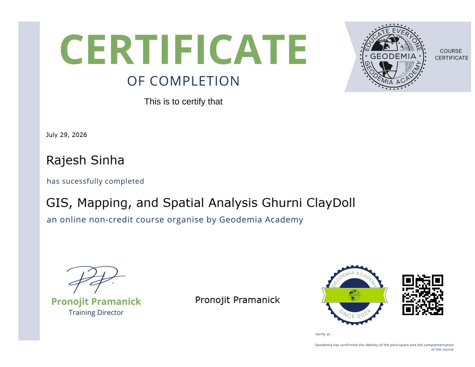
Earn a certificate and Showcase your skill
Complete this course and earn a verified certificate to showcase your new skills. Share it on LinkedIn, add it to your resume, or download it for your records.

You might be interested in